
Current Radar |
WOWT Webcam  Sunrise: 6:12am Sunset: 8:26pm |


| CARTER LAKE IOWA |
CURRENT | MAX/MIN | RATE | ||||
| Temperature | 56.6 °F |
58.4°F at 12:01 am 56.5°F at 1:21 am |
-1.4 °F /hr -2.1 °F /2 hr |
||||
| Humidity | 91% | 91% at 12:00 am 90% at 1:04 am |
+0% /hr +1% /2 hr |
||||
| Pressure | 29.377 in. |
29.472 in. at 12:14 am 29.319 in. at 12:59 am |
-0.066 in. /hr -0.030 in. /2 hr |
||||
| Wind | 2-4 mph SSE |
Last hour: 15.0 mph ENE Max day: 17.0 mph ESE |
+0 mph /hr +0 mph /2 hr |
||||
| Rain 12:45 AM | 0.09 in. today 0.58 in. yest. |
0 days without Rain Month Rain: 2.69 in. |
0.04 in. /hr
0.10 in. /3 hr |
||||
|
|||||||
Omaha Valley StormTracker Lightning Detector
|
|
|
Lightning Main | Live StormVue | Full Track Report | How It Works | Lightning Safety |
Fast Facts
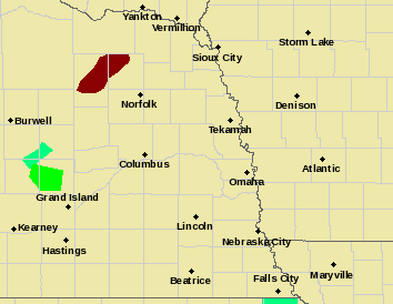
URBAN/SMALL STREAM FLOOD ADVISORY - Alerts the public to flooding, which is generally only an inconvenience (not life-threatening) to those living in the affected area. Issued when heavy rain will cause flooding of streets and low-lying places in urban areas. Also used if small rural or urban streams are expected to reach or exceed bankfull. Some damage to homes or roads could occur.
More Info